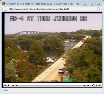
A screen capture of the live video of Route 4 looking north onto the Thomas Johnson Bridge leading to Solomons.
(Aug. 5, 2010)—The Maryland Department of Transportation, Coordinated Highways Action Response Team (CHART) is now providing live streaming video of three key traffic choke points in southern Maryland. All feeds are 128 Kbps and are available on the CHART Web site.
US Route 301 North of the Harry Nice Bridge toll plaza
http://www.chart.state.md.us/video/video.asp?feed=75
US Route 301 at Maryland Route 5
http://www.chart.state.md.us/video/video.asp?feed=14
Maryland Route 4 at Thomas Johnson Bridge. The camera captures a live view from the beginning of the bridge in St. Mary's County proceeding north on Route 4.
http://www.chart.state.md.us/video/video.asp?feed=81